Waipawa - Waipukurau Trail Loop

The Waipawa Waipukurau Loop Trail is marked out in red on the map above.

The trail is north of the Tuki Tuki River and is between the two towns of Waipawa and Waipukurau
It travels along the north eastern limestone trail, sealed roadway (Tapairu Rd) and concrete trail from Waipawa township along SH2
There are four or five entrances to the trail loop - Russell Park carpark in Waipukurau, a carpark near the Swing Bridge site and an open area adjacent to the SH2 bridge off Lindsay Road. There is also carpark near the Waipawa swimming pool
The trail can be started in a number of places. The most popular are Waipawa (park near the swimming pool) and Waipukurau (park at Russell Park). If you start from Russell Park please note that the trail section on the north side near the SH bridge is still damaged from Cyclone Gabrielle and is a little rough, but is rideable.
The total distance is approximately 16km, is mostly flat with some climbs - the steepest climb is on Tapairu Road
Biking time is around 60 minutes - walking approximately 3 hours
There are cafes in both Waipawa and Waipukurau
Maps are available here - other things to see and do in Central Hawkes Bay are here
The best places to start are the SH2 bridge in Waipawa or at Russell Park in Waipukurau
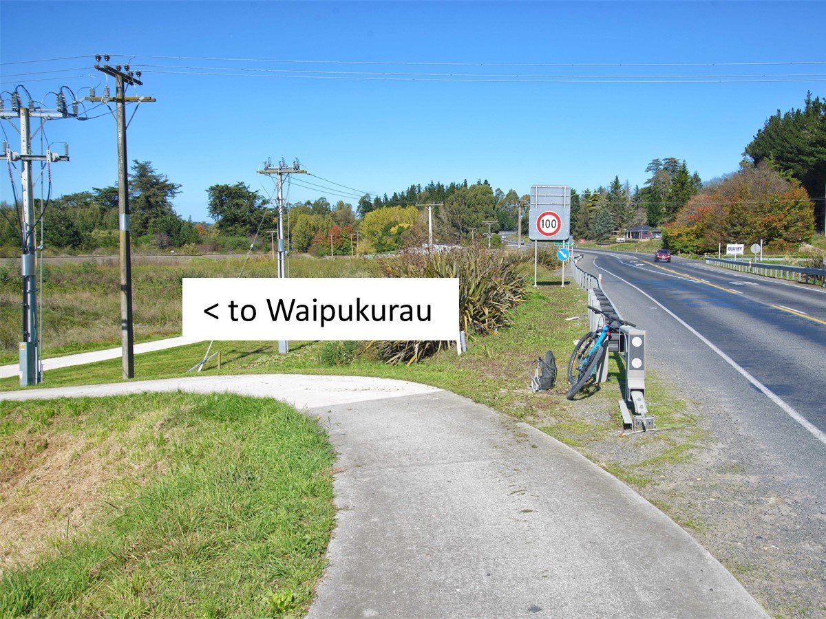
Starting in Waipawa - park your car near the swimming pool and cross the bridge to the start of the trail.

Head south along the concrete trail towards Waipukurau

Near the river turn up to the stopbank - from here you can travel into Waipukurau or continue the loop back to Waipawa
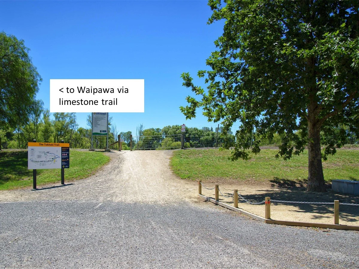
If starting at Russell Park Waipukurau start from the car park and traverse the SH2 bridge to join the limestone trail on the north side

Ride the limestone section east and passed the Swing Bridge site
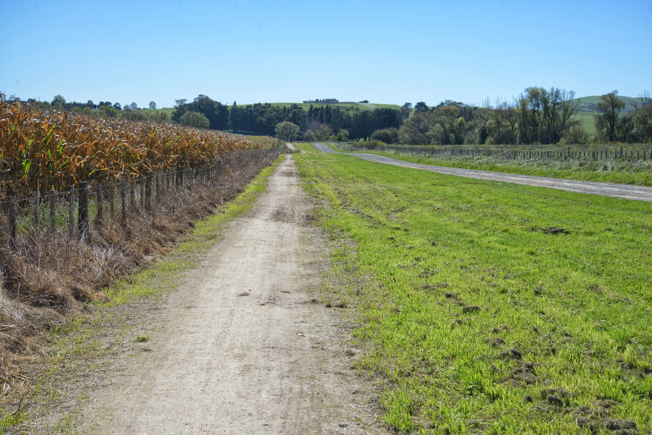
Leave the limestone and travel north along the trail adjacent to Tapairu Road

Ride up hill on Tapairu Road - there is a steep section here - you can ride the loop in a reverse order which means the ride has a steady climb on the SH2 concrete section instead

Past open rural land to Waipawa